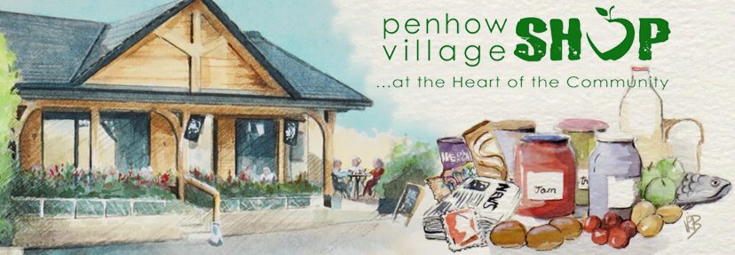
This set of maps was compiled for the delivery of the Scout post but have found other uses by local residents and especially by delivery drivers trying to find a property. A hardcopy has also been placed in the Penhow Village shop.
The maps are based on the “open data” of OpenStreetMap (https://www.openstreetmap.org/) and they retain the copyright.
Ian & Samuel Russell
Ian.Russell@1stwentwoodscouts.org.uk